Professional imagery analysis.
Free. In your browser.
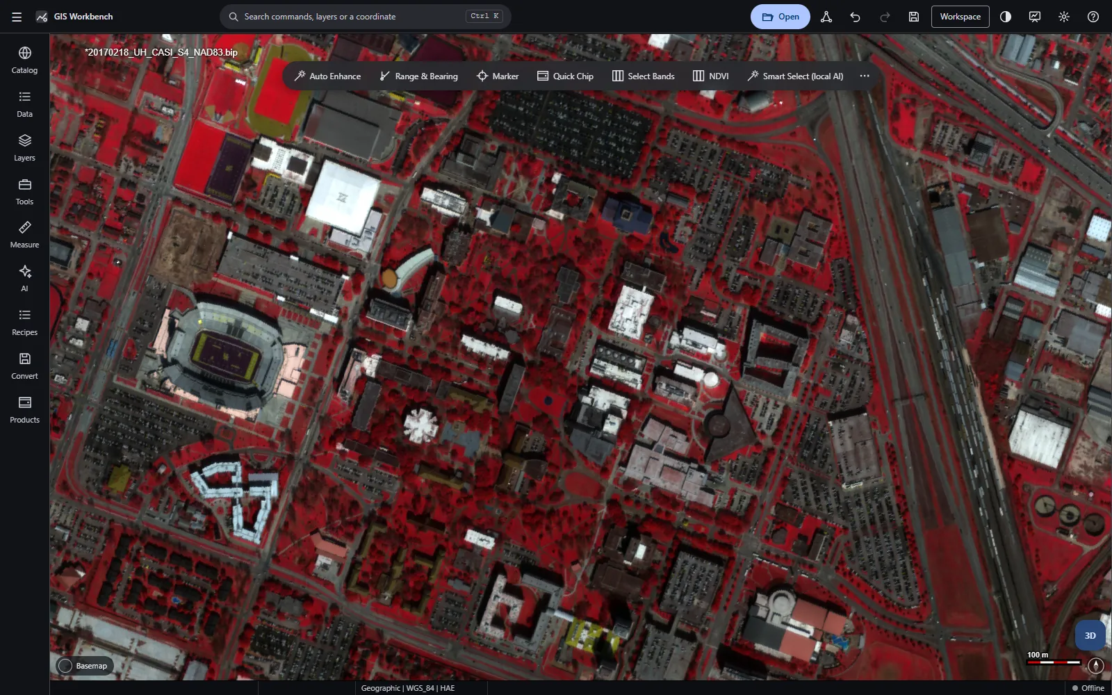
GIS Workbench™ brings photogrammetry, stereo, SAR, spectral, LiDAR and full-motion video analysis to a single HTML file. Nothing to install, no licence server, and no data leaving your machine.
- Licence cost
- $0
- Install required
- None
- Analyst commands
- 585
- GIS formats supported
- 200+
Enterprise-grade capability without the enterprise price tag.
Commercial imagery suites are licensed per seat, tiered into bundles, extended by paid add-ons and kept current through annual maintenance. GIS Workbench is none of those things.
- No seats, bundles or add-on modules to buy — every capability is included (ECW conversion uses your own ECW licence)
- No licence server, dongle or activation to manage
- No annual maintenance contract to keep receiving updates
- Open source under Apache-2.0: inspect, audit, extend and redistribute
One workbench for all your geospatial data.
From NITF to LiDAR to motion imagery — 585 commands across twelve capability areas.
Image analysis
A GPU image chain and multi-panel workspace built for analysts who live in imagery.
ExploreGeopositioning & mensuration
Rigorous coordinates and measurements, each with an honest error estimate.
ExploreSensor models & photogrammetry
Sensor-model–aware analysis from single images to block adjustment.
ExploreStereo & 3D
Stereo viewing and 3D scenes without special hardware.
ExploreTerrain
Extract, edit and analyse elevation data directly in the browser.
ExploreSAR
Complex SAR analysis from SICD, SIDD, UAVSAR and Sentinel-1 data.
ExploreMultispectral & hyperspectral
Spectral analysis on the GPU, from band math to anomaly detection.
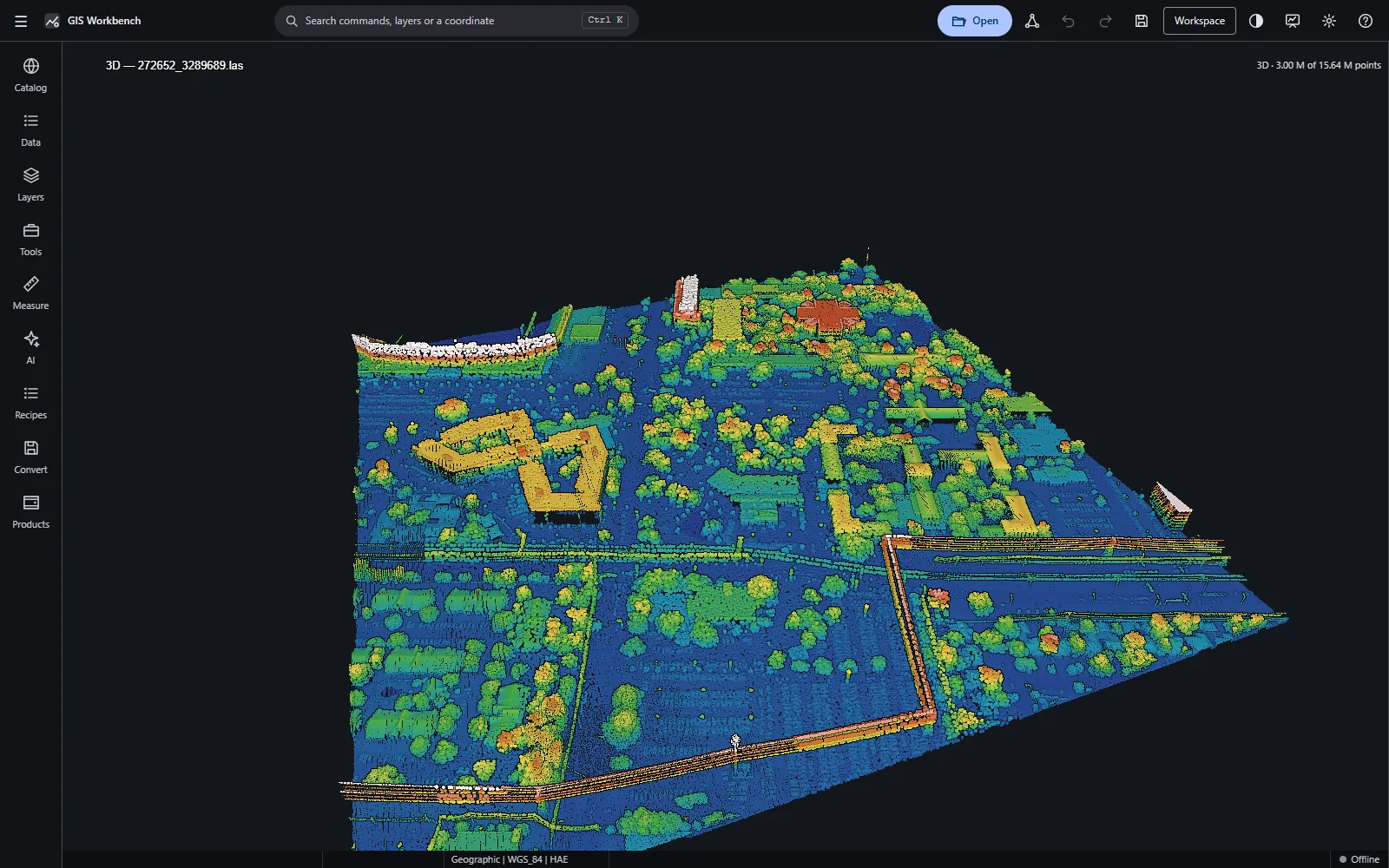
ExploreLiDAR & point clouds
Millions of points, streamed and rendered at interactive frame rates.
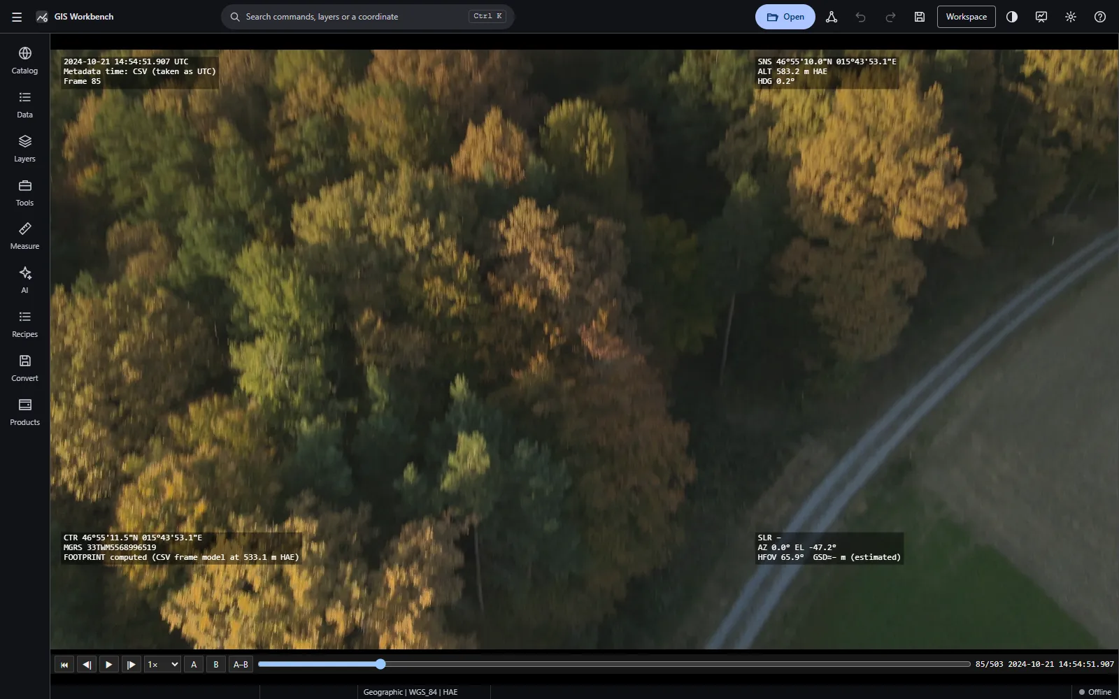
ExploreMotion imagery
Full-motion video with embedded metadata, synced to the map.
ExploreFeature extraction & GIS
Capture, attribute and validate features with assisted digitising.
ExploreProducts & reporting
Finished maps and reports straight from the workspace.
ExplorePrivate by design
Your imagery never leaves your machine.
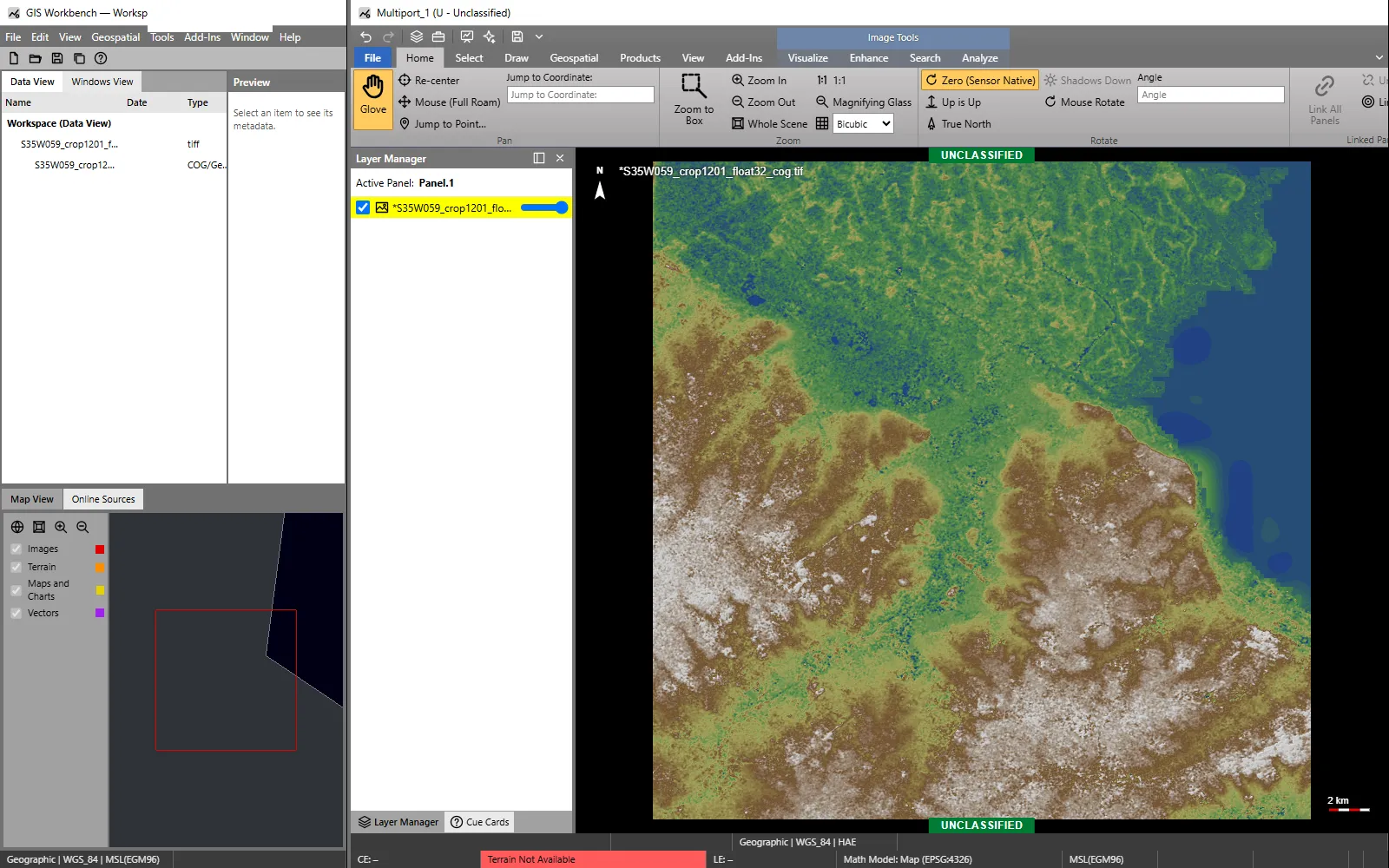
ExploreA familiar workspace, rebuilt for the web.
Analysts trained on desktop imagery tools will feel at home from the first click.
Built for sensitive imagery.
GIS Workbench runs entirely on your machine. There is no remote server to send data to.
Local-only
Files are read straight from disk with range reads and never leave your device. The optional sidecar runs on the same machine, at 127.0.0.1.
Locked-down network
A strict Content Security Policy allows only curated origins and the local sidecar. Nothing is fetched until you go Online, and every request is logged.
Memory-safe parsers
NITF, LAS, KLV and other parsers are written in Rust, compiled to WebAssembly and fuzz-tested. Sidecar tools run as sandboxed processes: Low integrity on Windows, Landlock on Linux.
Air-gap ready
Copy one file onto an isolated network and it just works. Optional packs add geoids, codecs and AI models.
Three steps. No IT ticket.
- 1
Open
Launch the hosted app, or download the single HTML file for offline use.
- 2
Load
Drag in NITF, GeoTIFF, SICD, LAS, DTED, ERDAS IMAGINE, NetCDF, MBTiles, video and more. Data stays on your disk.
- 3
Analyse
Measure, extract, analyse and publish products to PDF, PowerPoint, Word or KMZ.
A new release is coming.
Version 2.6 is on its way. Tell us what you would like to see.